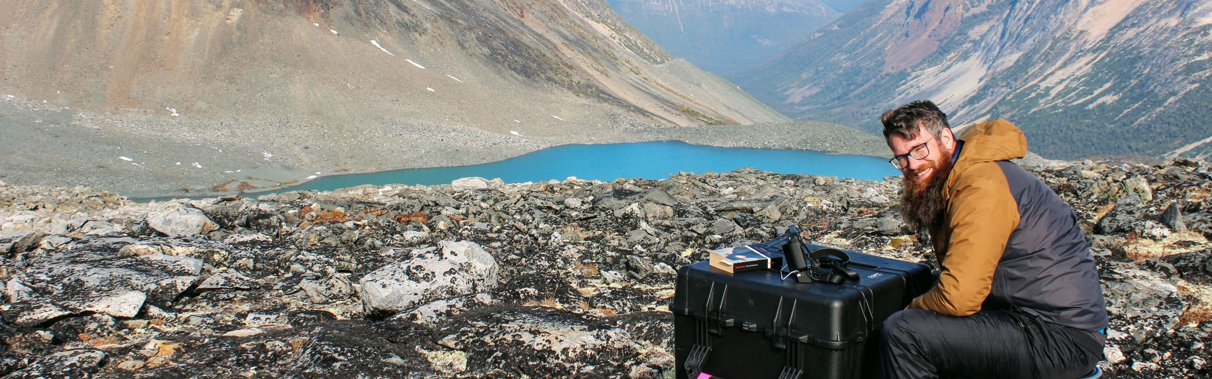
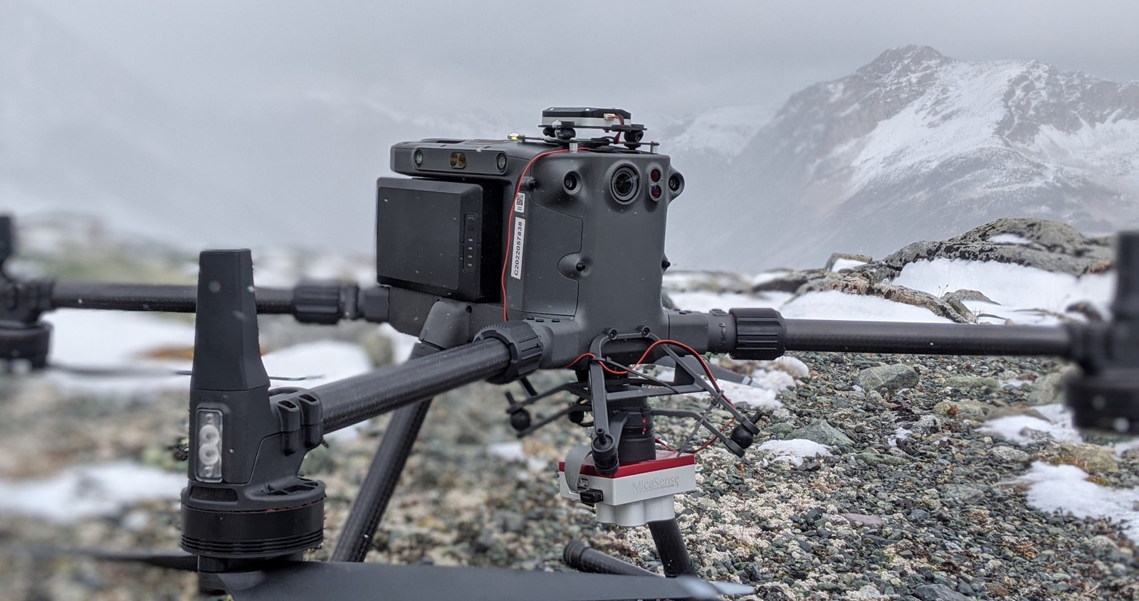
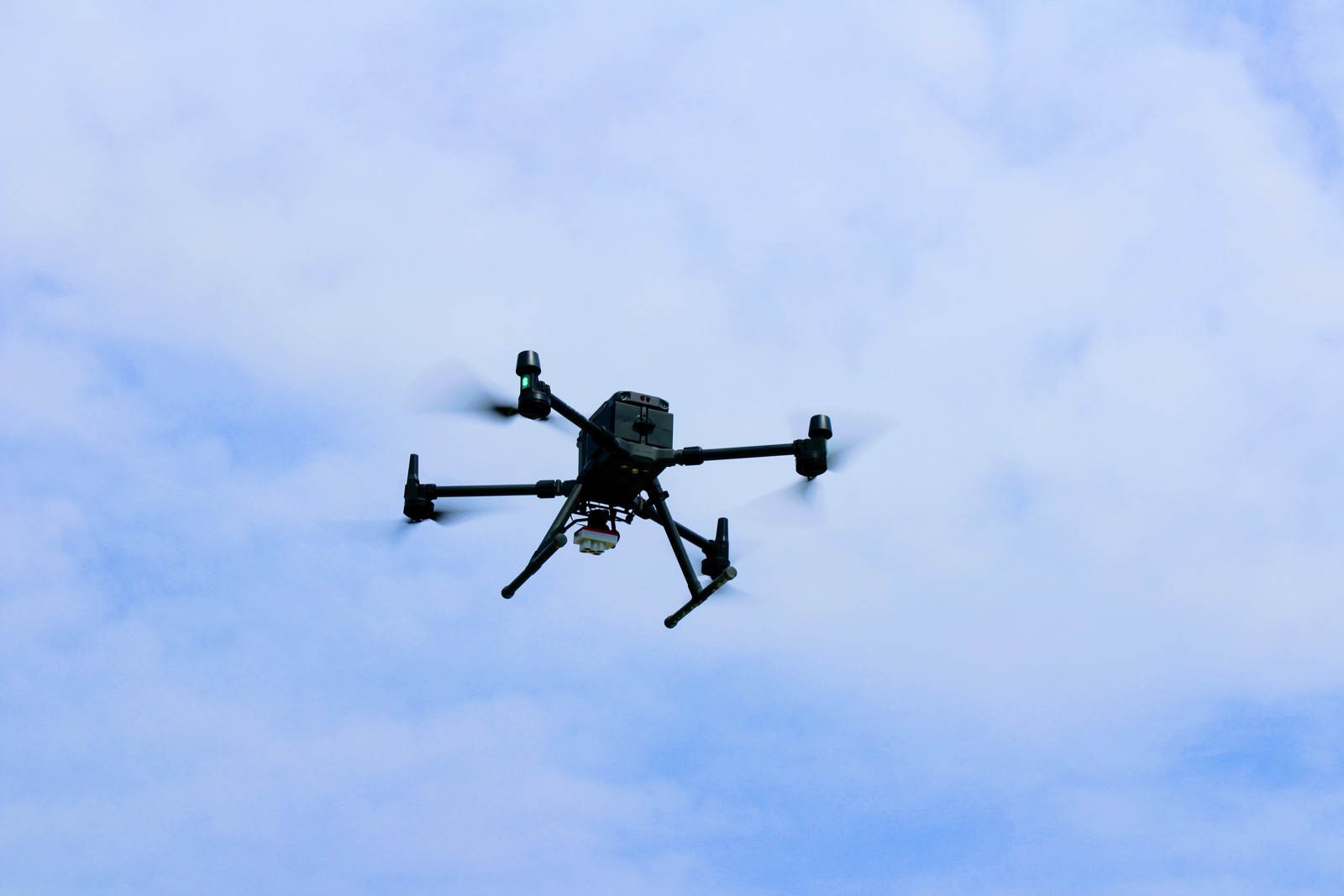
One of the other services Geotronics offers with its Drone Program is:
High Resolution Photos
Georeferenced Orthomosaics
3D Models
High Definition Contouring
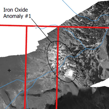
Multispectral imaging (like the Iron Oxide Index)
These services can let you prospect a wide area, generate a high definition map (including for promotional purposes), look at an accurate 3D model, and use contouring for geological as well as other interpretation.
In cases where a property has heavy tree cover, our LiDar service will be a better option for accurate mapping and contouring.